This article is from the Australian Property Journal archive
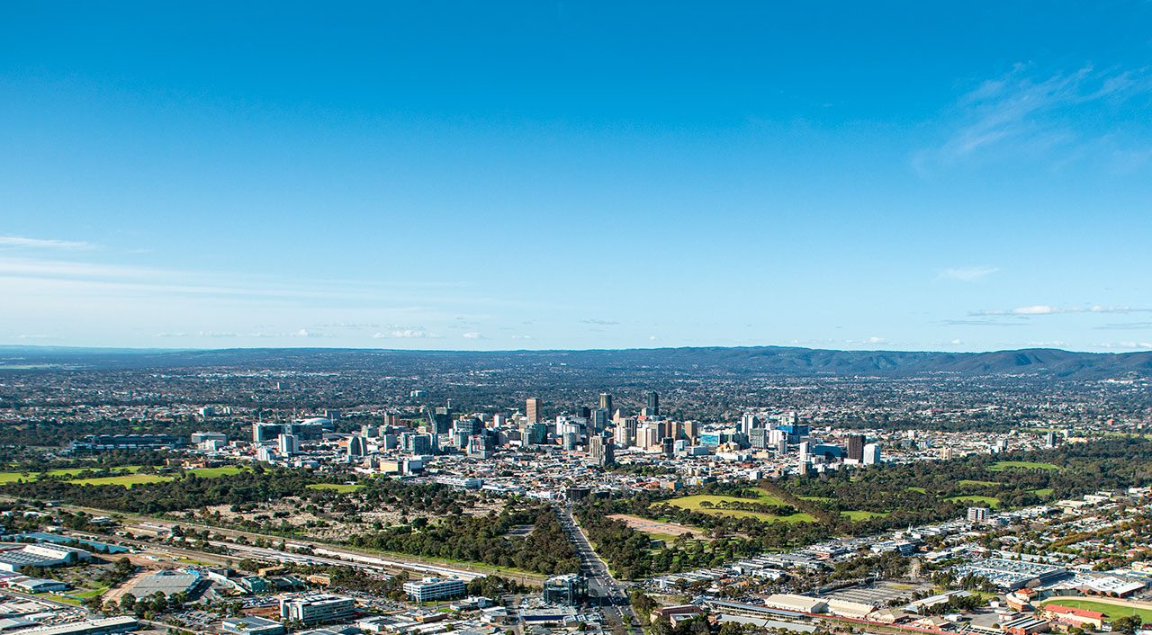
A DECADE long study has for the first time verified that residential tree cover is shrinking across half of all Adelaide suburbs.
The study by Nearmap found that 50% of Adelaide’s suburbs saw declines of 9.8% of residential tree cover, with overall relative residential tree cover down by 8.6%, from 20.1% in 2011 to 18.3% in 2021.
The study used high resolution aerial imagery and AI insights from each year over the last decade looking at the same three-month period of January to March every year.
“The consistency, quality, and regularity of Nearmap aerial captures has enabled us to, for the first time, provide a powerful picture of changes of urban forests across residential suburbs in Adelaide over the past decade,” said Michael Bewley, senior director of artificial intelligence systems at Nearmap, who led the analysis.
More specifically over the decade, out of the city’s 281 suburbs, 131 lost at least 10% of residential tree cover.
This was most easily observed in in Mount Para West, were a 74% relative decrease in tree canopy coverage was reported, from 17% down to 4.4%.
Blackwood followed with a 13% relative decrease from 48% to 42% and Bridgewater, which declined by 9.8% from 52% to 47%.
On the other hand the study found that 18 suburbs recorded an increase of at least 10% of residential tree cover.
These suburbs include Northgate which saw a relative increase of 120%, from 4.5% to 10% residential tree cover over the last decade, followed by a 111% increase in Mawson Lakes, from 3.7% to 7.8% and St Clair up 74%, from 5.2% to 9.0%.
Currently around 11,700 organisations worldwide use Nearmap technology, including 90% of Australia’s construction companies and more than 250 customers from government and insurance sectors.
“By revealing the impact of historical planning decisions on the neighbourhoods we live in and experience every day, Nearmap can give urban planners, designers, councils, and government organisations the information and tools they need to create more resilient and sustainable communities,” said Bewley.
Decreasing tree canopy cover can significantly increase the urban heat island effect, leaving surface temperatures as much as 10 degrees higher than comparative areas, which can lead to impacts on resident health and wellbeing.
“By monitoring changes in tree canopy cover, we are reminded that maintaining and enhancing tree stocks in our neighbourhoods is important for sustaining the high levels of liveability Australians have become accustomed and for which this country is known,” said Bryan Boruff, environmental geographer at the University of Western Australia (UWA) School of Agriculture and Environment.
This analysis of Adelaide follows a broader national study of 5,000 suburbs by the technology company which revealed Greater Brisbane as the having the most populated suburbs with the highest percentage of cover, with 79% of residents living with tree cover over 20%.
Brisbane was followed by Hobart where 71% lived in areas with more than 20% tree cover, followed by 66% in Darwin, 58% in the ACT and 44% in Sydney.